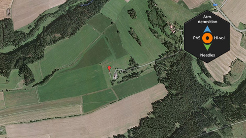
Košetice
MONAIRNET Sampling Site:
- Košetice
Sampling site type:
- background, rural
GPS coordinates:
- 49°34'24.73"N, 15°04'49.00"E
Altitude:
- 535 m
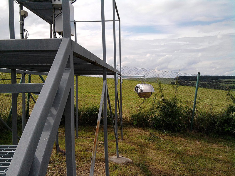
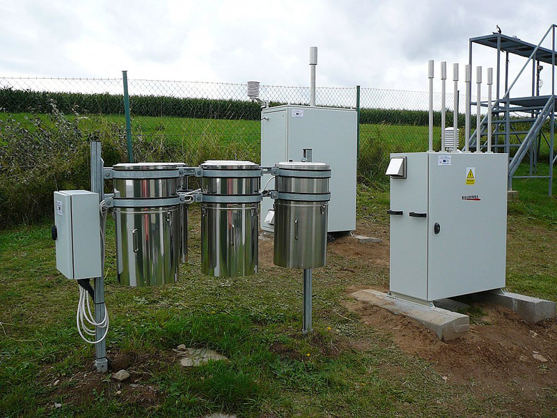
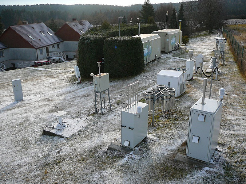
Sampling methods within the MONAIRNET project on this site:
- Atmospheric Deposition
- Active air sampling by directional high volume ambient air samplers
- Passive Air Sampling
- Needles Sampling (Passive Air Sampling)
Site Description:
Košetice observatory is a unique sampling site with a long term integrated environmental monitoring. The sampling site is located in the grounds of the Czech Hydrometeorological Institute (CHMI) meteorological station – Košetice, Pelhřimov district. The observatory is located in a quite steep terrain (rise more than 10%), surrounded by agricultural, mostly arrablelands. The sampling site was situated in a vicinity of about 50 m from the nearest observatory building.
The site is located away from residential areas and also out of reach of a majority pollution sources. Possible pollution sources on this site are of anthropogenic origin – domestic heating from surrounding villages and agriculture, in particular dust from surrounding agricultural fields areas. The sampling site is classified as a rural background.
 |
 |
 |
