Unterbergern
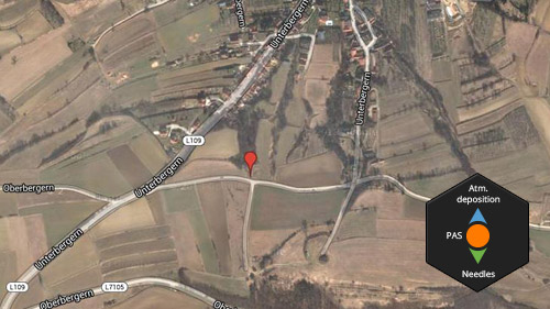
MONAIRNET Sampling Site:
- Unterbergern
Sampling site type:
- background, rural
GPS coordinates:
- 48°22'13.14"N, 15°32'43.76"E
Altitude:
- 320 m
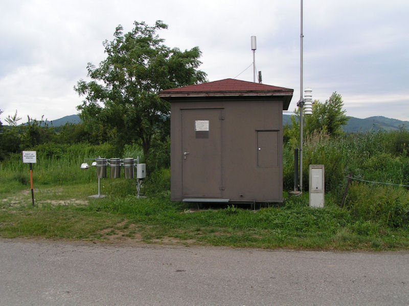
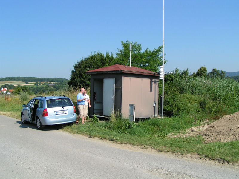
Sampling methods on this site within the MONAIRNET project:
- Atmospheric Deposition
- Passive Air Sampling
- Needles Sampling (Passive Air Sampling)
Site Description:
The sampling site is located a few kilometers away from the village Unterbergern on the top of the hill. The site is surrounded by meadows with permanent grassland. The nearest trees are located at a distance greater than 100 meters.
The intense agricultural activity exhibits the strongest influence on concentrations of studied pollutants, but domestic heating and local transport (the nearest local roads are located less than 1km) are less likely sources.
 |
 |
 |
